 Download this map
Présentation
Caractéristiques
Formats de fichiers *
* Liste des fichiers contenus dans ce téléchargement.
Produits complémentaires
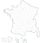
French departments blank map
Vector french departments map , emf/wmf files.
France old regions vector map
Free blank map of France regions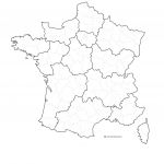
French Regions and departments map
Free vector map of France subdivisions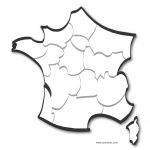
Stylized map of France by regions
Vector map file illustrator, svg, psd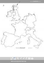
France border countries map
Customizable map of the countries bordering France.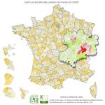
Ancient cantons of France vector map
Old townships named of France and overseas, vector map layers in Illustrator formats, EPS, PDF and SVG. Detail of the Paris region. Provided with the Excel and Csv listing of cantons of France (source: INSEE).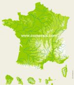
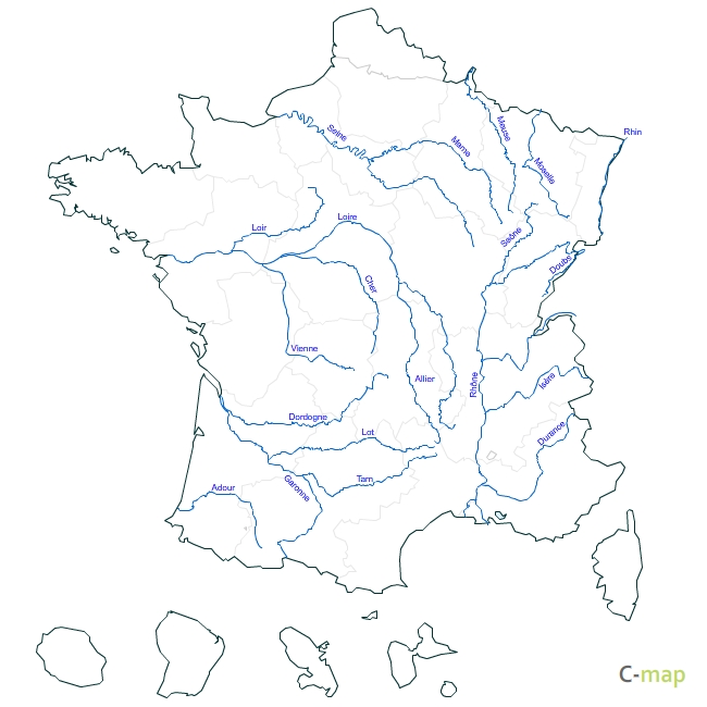
France topographic vector map
Vector map of France with rivers and relief.Utilisation / Aide
Retrouvez nos tutoriaux sur la Faq Comersis.com