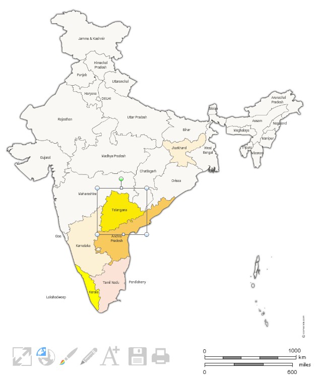
 click on the map to enlarge
Customizable map of the 29 states of India, editable with Excel, PowerPoint or Word.
Présentation
Caractéristiques
Formats de fichiers *
 Editable
 Excel
Excel Word
Word Powerpoint
* Liste des fichiers contenus dans ce téléchargement.
Produits complémentaires
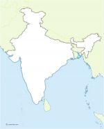
Free vector map of India
Map of India and border countries in Illustrator, Svg and Flash. Original map file size : 600 x 700 pixels. Free to download and to use.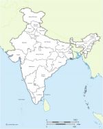
Vector map of Indian states with names and boundaries.
Editable map of India with its 29 States appointed (non-vectorized text) and neighboring countries. Original Size: 600 x 700 pixels Vector formats: Illustrator, SVG, SWF importable.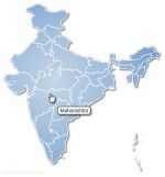
India regions clickable map
Free map of the regions of India for Internet webpage. Each region can receive a different link (HTTP link, email link, JavaScript link, download link ...)Utilisation / Aide
Retrouvez nos tutoriaux sur la Faq Comersis.com