 cliquez sur la carte pour agrandir
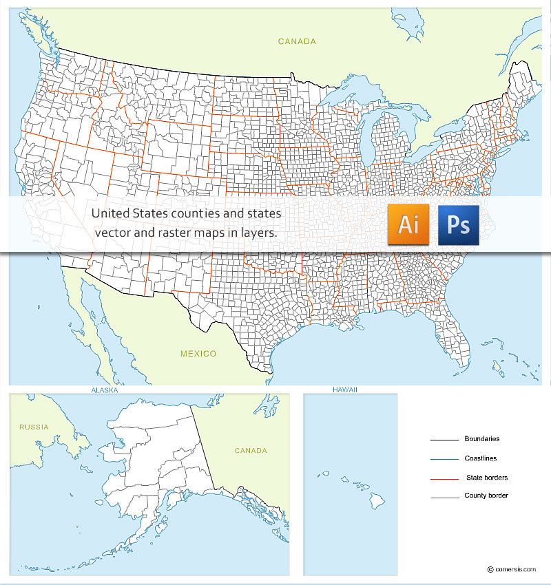
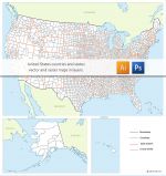
Carte des contours des comtés de chaque État des USA avec pays frontaliers, Alaska et Hawaï. Existe également avec noms des États et des comtés.
Présentation
This map can be delivered in severals formats, vector or raster, in layers, such as Illustrator .ai, eps, pdf, svg, AutoCAD dwg or Photoshop psd, CorelDraw, The Gimp...
Ask for more detail...
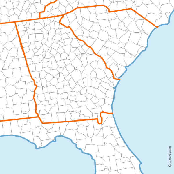
US counties map detail
Ask for more detail...
US counties map detail
Caractéristiques
Formats de fichiers *
 Editable
 Eps
Eps Illustrator
 Photoshop
* Liste des fichiers contenus dans ce téléchargement.
Produits complémentaires
Carte stylisée des Etats Unis en vecteurs
Carte design des Etats Unis d' Amérique aux formats EPS, SVG et FLASH.
Carte des comtés des États-Unis modifiable
Carte des contours des comtés de chaque État des USA avec pays frontaliers, Alaska et Hawaï. Existe également avec noms des États et des comtés.Utilisation / Aide
Retrouvez nos tutoriaux sur la Faq Comersis.com