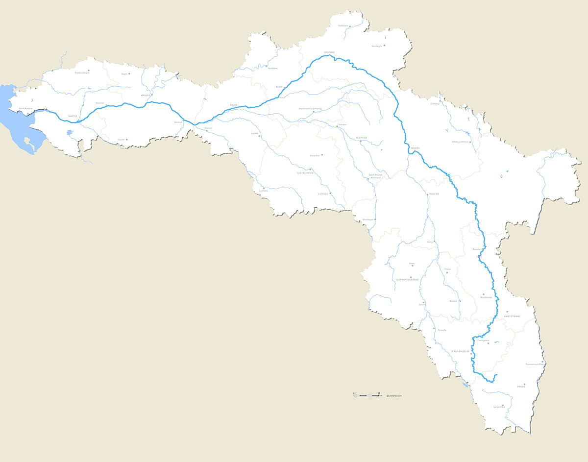
 click on the map to enlarge
Vector editable map of the whole course of the river La Loire with crossed departmental boundaries and major cities.
Présentation
Customizable map of the complete course of the Loire (French River) and its main affluents.
File in this download:
- Illustrator map inlayers
- Photoshop map in Layers
- WMF map for Word, Excel and PowerPoint
- SVG map for experts
Also available with roads and road + terrain
Also available with roads and road + terrain
Caractéristiques
Formats de fichiers *
 Editable
 Illustrator
 Photoshop
 Wmf
Wmf Svg
Svg* Liste des fichiers contenus dans ce téléchargement.
Produits complémentaires
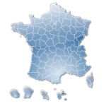
Carte Régions de France icones vectorielles
Pack de cartes clipart de localisation des nouvelles régions de France 2017 avec Dom et Com en tracé contours vectoriels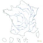
Carte Fleuves de France
Fond de carte des principaux Fleuves de France vectoriel Formats EMF, WMF.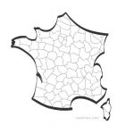
Carte France vectorielle stylisée
Carte vectorielle de France divisée en départements, graphique aux formats Eps, Svg, Swf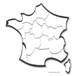
Carte stylisée de France par régions
Carte au fromat vectoriel, fichiers Illustrator .ai, Pdf .Psd et svg.
Carte de France stylisée avec régions
Carte de France vectorielle au format Flash 8, avec découpe des départements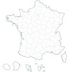
Carte Départements de France
Carte vectorielle des départements français au format emf/wmf.Utilisation / Aide
Retrouvez nos tutoriaux sur la Faq Comersis.com