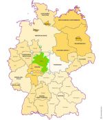
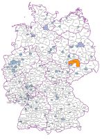
Choropleth Excel map of the districts of Germany with automatic coloring according to your values.
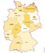
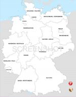
Full Html map of Germany with clickable regions, text on mouse over, editable links.
Suitable for dynamic or static website.
Free to download.
kostenlos anklickbare Karte von Deutschland Landeren
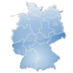
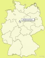
16 State
Baden-Württemberg, Bayern, Berlin, Brandenburg, Bremen, Hamburg, Hessen, Mecklenburg-Vorpommern, Niedersachsen, Nordrhein-Westfalen, Rheinland-Pfalz, Saarland, Sachsen, Sachsen-Anhalt, Schleswig-Holstein, Thüringen,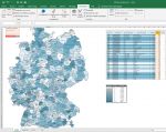
 Albanie
 Andorre
 Autriche
 Belgique
 Biélorussie
 Bosnie-Herzégovine
 Bulgarie
 Chypre
 Croatie
 Danemark
 Espagne
 Estonie
 Finlande
 France
 Gibraltar
 Grèce
Grèce Hongrie
 Île de Man
 Îles Åland
 Îles Féroé
 Irlande
 Islande
 Italie
 Kosovo
 L'ex-République Yougoslave de Macédoine
 Lettonie
 Liechtenstein
 Lithuanie
 Luxembourg
 Malte
Malte Moldavie
 Monaco
 Monténégro
 Norvège
 Pays-Bas
 Pologne
 Portugal
 République-Tchèque
 Roumanie
 Royaume Uni (Grande Bretagne)
 Saint-Marin
 Saint-Siège (état de la Cité du Vatican)
 Serbie
 Slovaquie
 Slovénie
 Suède
Suède Suisse
 Svalbard etÎle Jan Mayen
 Ukraine