Vector map of London bouroughs in Illustrator, Powerpoint and Jpeg HD.
Free to download.
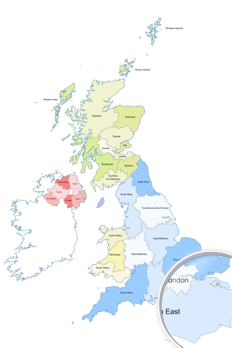
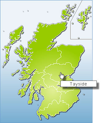
editable map of the regions of Great Britain, with Scotland and Northern Ireland.
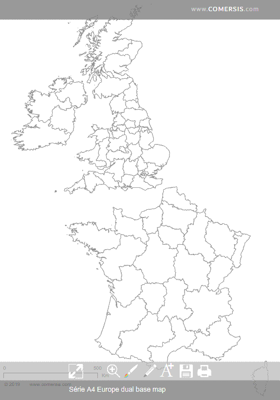
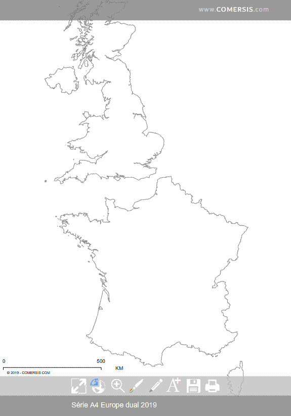
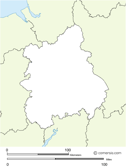
Customizable base map of United Kingdom and France administrative divisions.
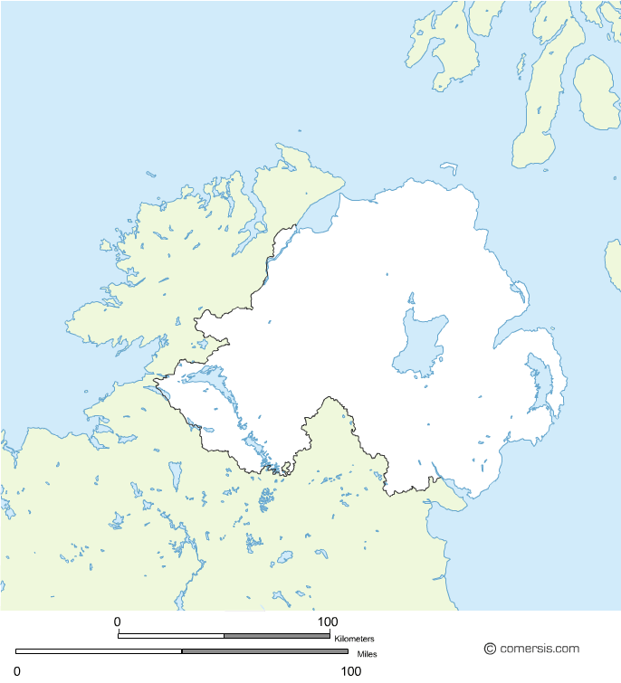
Changeable background map of Northern Ireland in the UK.
Free download.
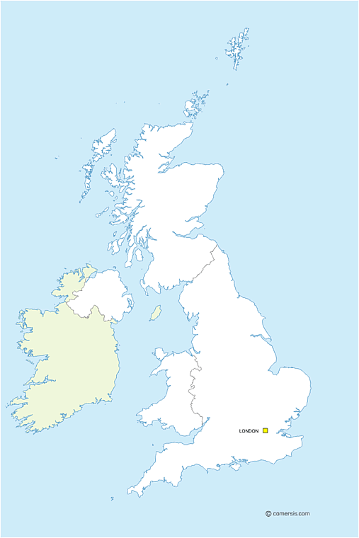
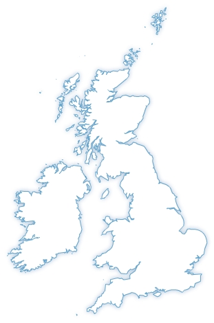
Outline vector map of England, Scotland and Irland in EPS and SVG format.
Free download.
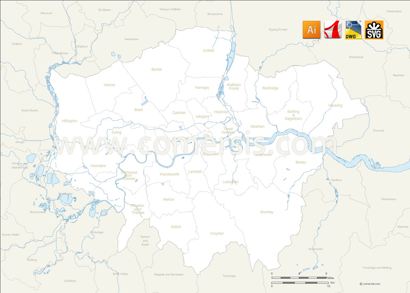
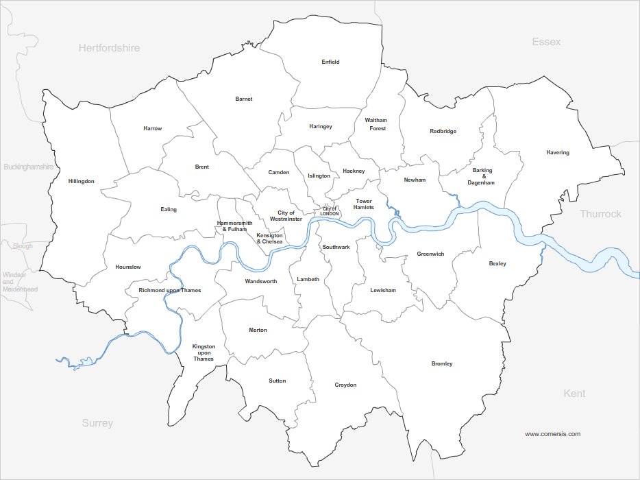
Editable map of Greater London borough with names and neighboring districts.
Files in Illustrator Ai, Svg, Autocad DWG and Acrobat Pdf.


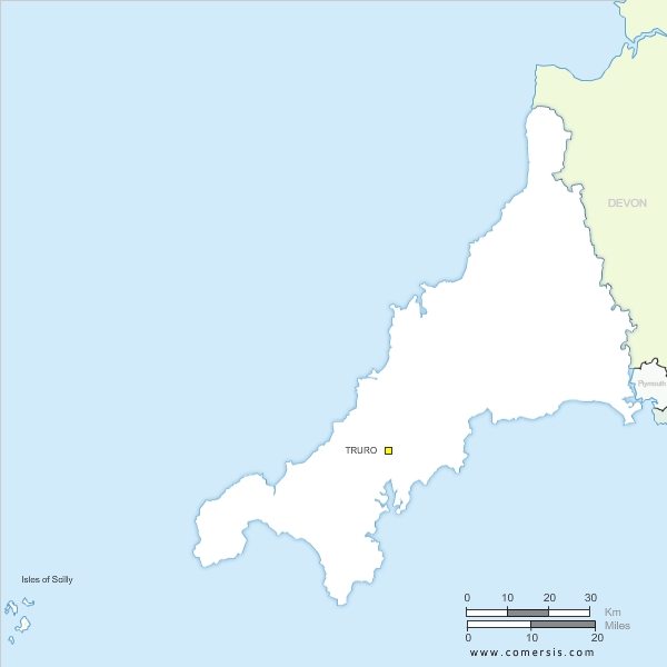
Blank map of Cornwall county in England. EPS and SVG vector file free to download and use.
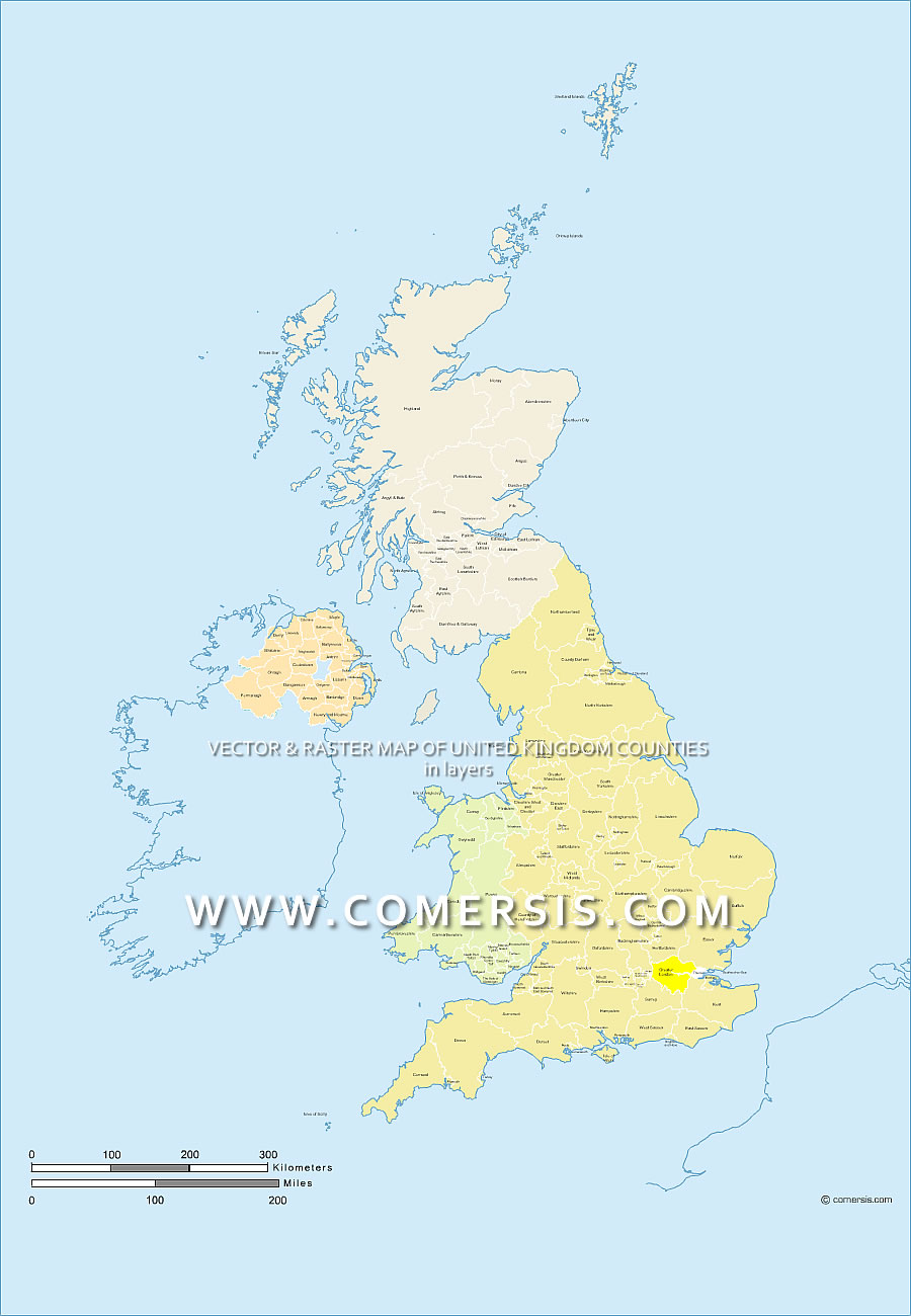
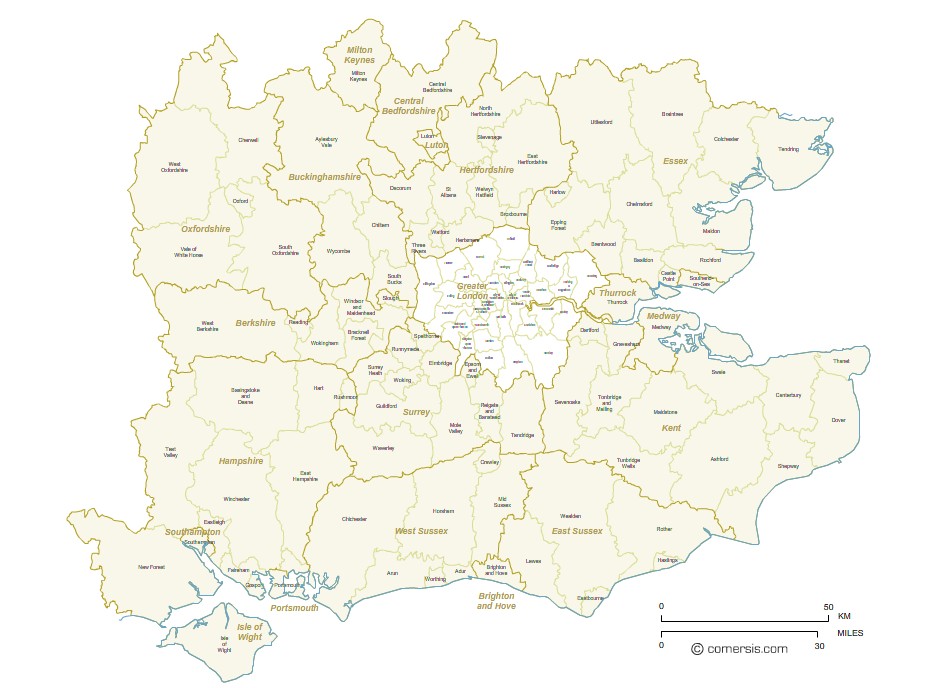
Editable map of the regions and counties of the United Kingdom with the name layered EPS and PDF Acrobat.
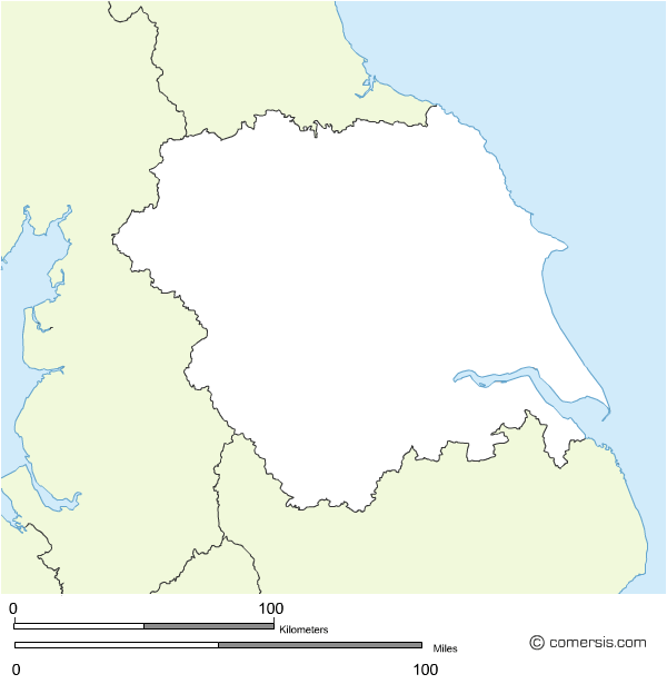
This map shows the counties of England, Wales, Scotland and Northern Ireland.
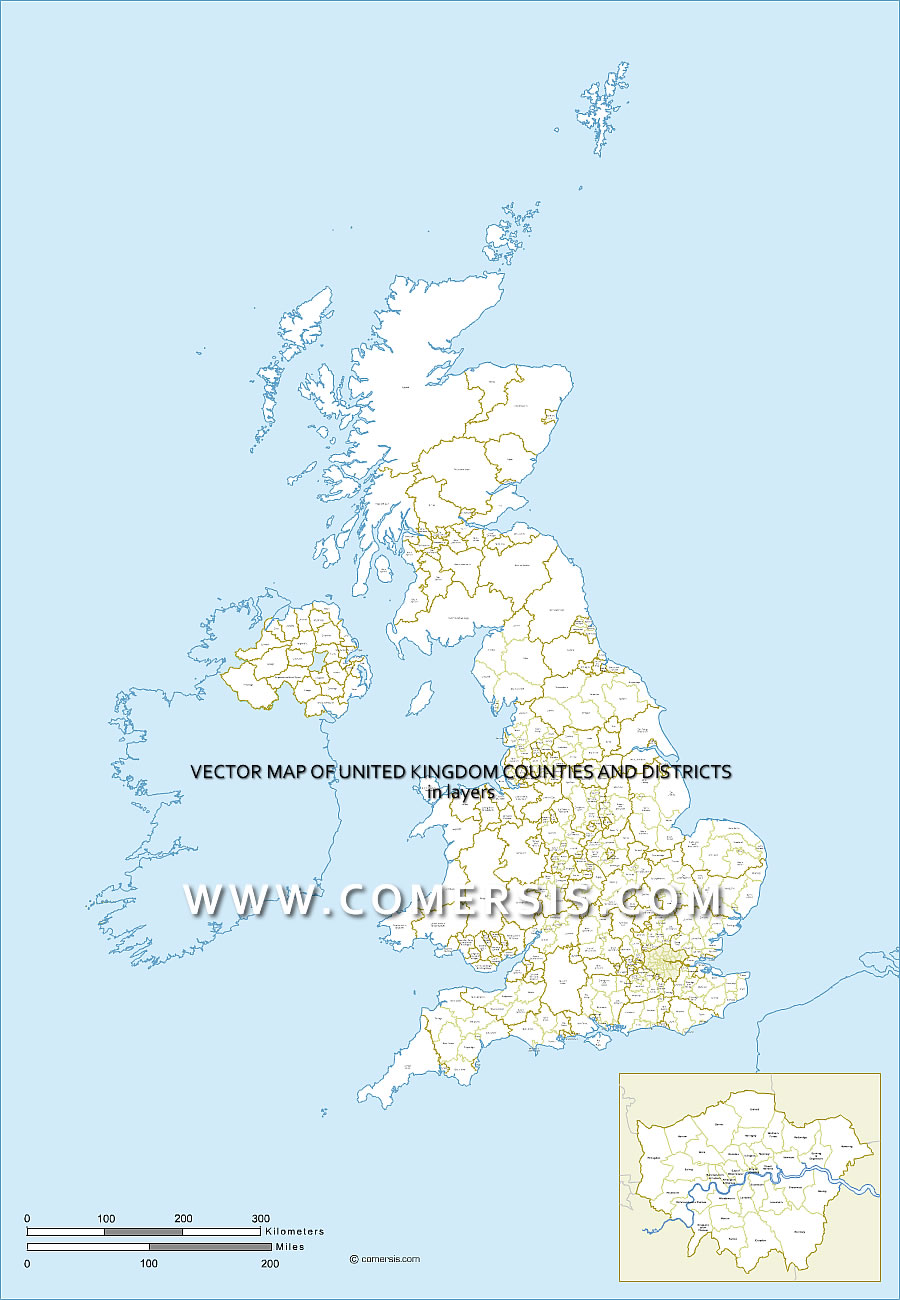
Map layered of Great Britain counties and districts . Eps vector formats and Acrobat PDF.
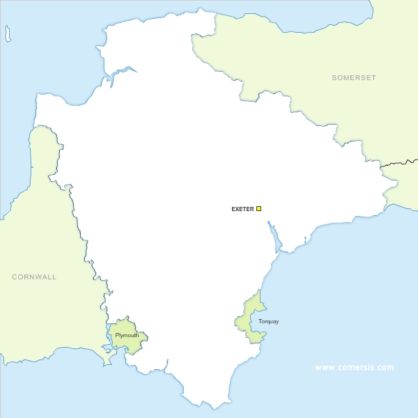
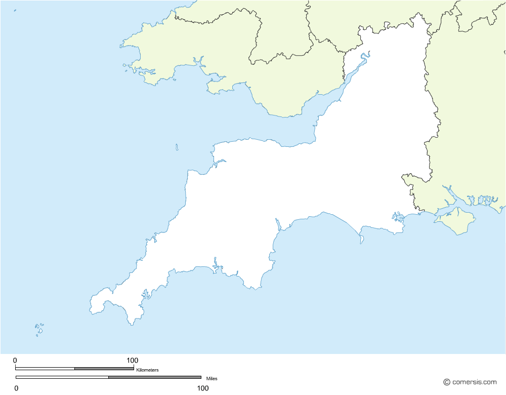
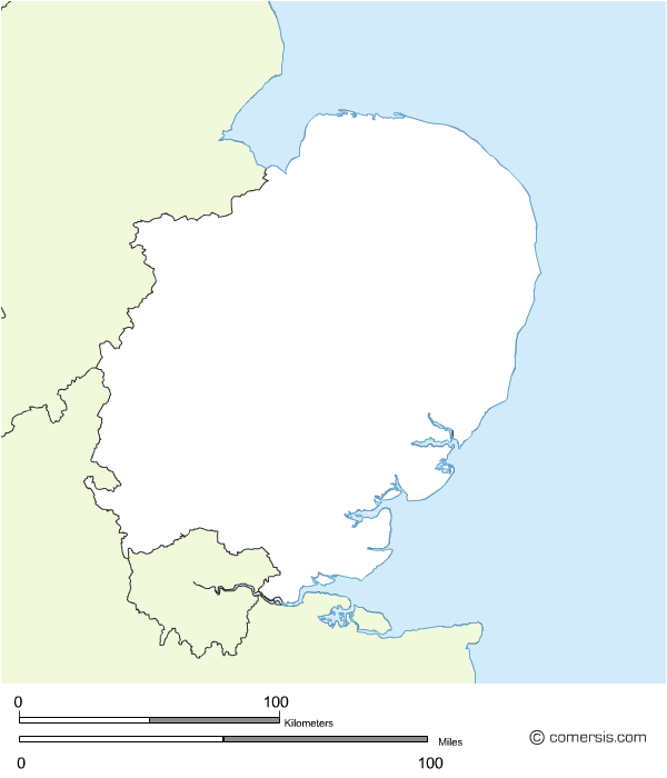
Vector Eps and SVG map of South England Devon county .
Free to download.
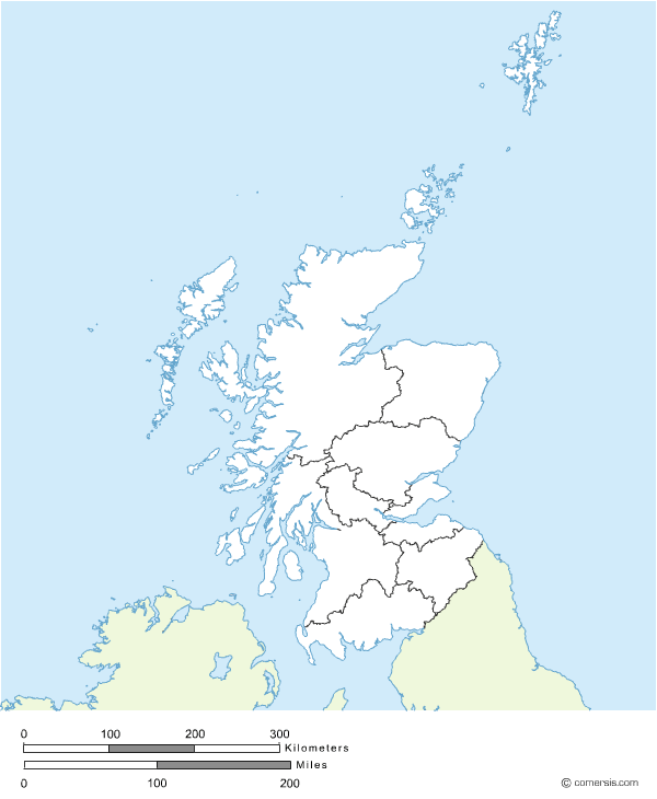
Clickable map of Scotland ready for use, installation by simply copying and pasting.
Two different images (one is transparent).
Each area can be linked to a different page or script.
Source image file supplied (Illustrator).
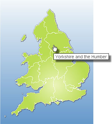
Clickable map ready for use of England, installation by simply copying and pasting.
Two different images (one is transparent).
Source image file supplied in Illustrator.

Editable vector map of Greater London roads in layers.
Delivery to format(s) of your choice.

Editable map of the regions and counties of the United Kingdom with the name layered for Photoshop.
This map shows the counties of England, Wales, Scotland and Northern Ireland.
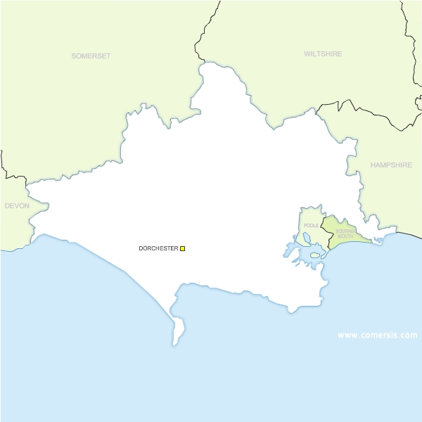
Free vector map of Dorset county.
Eps and SVG map files.
Free to download.
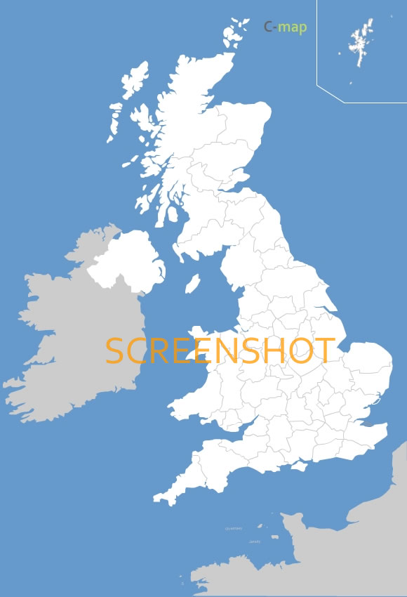
Map of the United Kingdom :
- EMF and WMF file (free)
- Illustrator and Flash file (fee required)
234 council area (Scotland)
Aberdeen City, Aberdeenshire, Angus, Antrim, Ards, Argyll and Bute, Armagh, Ballymena, Ballymoney, Banbridge, Barking and Dagenham, Barnet, Barnsley, Bath and North East Somerset, Bedfordshire, Belfast, Bexley, Birmingham, Blackburn with Darwen, Blackpool, Blaenau Gwent, Bolton, Bournemouth, Bracknell Forest, Bradford, Brent, Bridgend [Pen-y-bont ar Ogwr GB-POG], Brighton and Hove, Bristol, City of, Bromley, Buckinghamshire, Bury, Caerphilly [Caerffili GB-CAF], Calderdale, Cambridgeshire, Camden, Cardiff [Caerdydd GB-CRD], Carmarthenshire [Sir Gaerfyrddin GB-GFY], Carrickfergus, Castlereagh, Ceredigion [Sir Ceredigion], Cheshire, Clackmannanshire, Coleraine, Conwy, Cookstown, Cornwall, Coventry, Craigavon, Croydon, Cumbria, Darlington, Denbighshire [Sir Ddinbych GB-DDB], Derby, Derbyshire, Derry, Devon, Doncaster, Dorset, Down, Dudley, Dumfries and Galloway, Dundee City, Dungannon and South Tyrone, Durham, Ealing, East Ayrshire, East Dunbartonshire, East Lothian, East Renfrewshire, East Riding of Yorkshire, East Sussex, Edinburgh, City of, Eilean Siar, Enfield, England, Essex, Falkirk, Fermanagh, Fife, Flintshire [Sir y Fflint GB-FFL], Gateshead, Glasgow City, Gloucestershire, Greenwich, Gwynedd, Hackney, Halton, Hammersmith and Fulham, Hampshire, Haringey, Harrow, Hartlepool, Havering, Herefordshire, County of, Hertfordshire, Highland, Hillingdon, Hounslow, Inverclyde, Isle of Anglesey [Sir Ynys Môn GB-YNM], Isle of Wight, Isles of Scilly, Islington, Kensington and Chelsea, Kent, Kingston upon Hull, City of, Kingston upon Thames, Kirklees, Knowsley, Lambeth, Lancashire, Larne, Leeds, Leicester, Leicestershire, Lewisham, Limavady, Lincolnshire, Lisburn, Liverpool, London, City of, Luton, Magherafelt, Manchester, Medway, Merthyr Tydfil [Merthyr Tudful GB-MTU], Merton, Middlesbrough, Midlothian, Milton Keynes, Monmouthshire [Sir Fynwy GB-FYN], Moray, Moyle, Neath Port Talbot [Castell-nedd Port Talbot GB-CTL], Newcastle upon Tyne, Newham, Newport [Casnewydd GB-CNW], Newry and Mourne, Newtownabbey, Norfolk, North Ayrshire, North Down, North East Lincolnshire, North Lanarkshire, North Lincolnshire, North Somerset, North Tyneside, North Yorkshire, Northamptonshire, Northern Ireland, Northumberland, Nottingham, Nottinghamshire, Oldham, Omagh, Orkney Islands, Oxfordshire, Pembrokeshire [Sir Benfro GB-BNF], Perth and Kinross, Peterborough, Plymouth, Poole, Portsmouth, Powys, Reading, Redbridge, Redcar and Cleveland, Renfrewshire, Rhondda, Cynon, Taff [Rhondda, Cynon,Taf], Richmond upon Thames, Rochdale, Rotherham, Rutland, Salford, Sandwell, Scotland, Scottish Borders, The, Sefton, Sheffield, Shetland Islands, Shropshire, Slough, Solihull, Somerset, South Ayrshire, South Gloucestershire, South Lanarkshire, South Tyneside, Southampton, Southend-on-Sea, Southwark, St. Helens, Staffordshire, Stirling, Stockport, Stockton-on-Tees, Stoke-on-Trent, Strabane, Suffolk, Sunderland, Surrey, Sutton, Swansea [Abertawe GB-ATA], Swindon, Tameside, Telford and Wrekin, Thurrock, Torbay, Torfaen [Tor-faen], Tower Hamlets, Trafford, Vale of Glamorgan, The [Bro Morgannwg GB-BMG], Wakefield, Wales, Walsall, Waltham Forest, Wandsworth, Warrington, Warwickshire, West Berkshire, West Dunbartonshire, West Lothian, West Sussex, Westminster, Wigan, Wiltshire, Windsor and Maidenhead, Wirral, Wokingham, Wolverhampton, Worcestershire, Wrexham [Wrecsam GB-WRC], York, Albanie
 Allemagne
 Andorre
 Autriche
 Belgique
 Biélorussie
 Bosnie-Herzégovine
 Bulgarie
 Chypre
 Croatie
 Danemark
 Espagne
 Estonie
 Finlande
 France
 Gibraltar
 Grèce
Grèce Hongrie
 Île de Man
 Îles Åland
 Îles Féroé
 Irlande
 Islande
 Italie
 Kosovo
 L'ex-République Yougoslave de Macédoine
 Lettonie
 Liechtenstein
 Lithuanie
 Luxembourg
 Malte
Malte Moldavie
 Monaco
 Monténégro
 Norvège
 Pays-Bas
 Pologne
 Portugal
 République-Tchèque
 Roumanie
 Saint-Marin
") Saint-Siège (état de la Cité du Vatican)
Saint-Siège (état de la Cité du Vatican) Serbie
 Slovaquie
 Slovénie
 Suède
Suède Suisse
 Svalbard etÎle Jan Mayen
 Ukraine